| diagram |  |
||||||||||||
| namespace | http://www.opengis.net/gml | ||||||||||||
| type | gml:CodeType | ||||||||||||
| properties |
|
||||||||||||
| used by |
|
||||||||||||
| attributes |
|
||||||||||||
| annotation |
|
||||||||||||
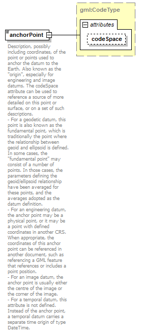
| source | <xs:element name="anchorPoint" type="gml:CodeType"> <xs:annotation> <xs:documentation>Description, possibly including coordinates, of the point or points used to anchor the datum to the Earth. Also known as the "origin", especially for engineering and image datums. The codeSpace attribute can be used to reference a source of more detailed on this point or surface, or on a set of such descriptions. - For a geodetic datum, this point is also known as the fundamental point, which is traditionally the point where the relationship between geoid and ellipsoid is defined. In some cases, the "fundamental point" may consist of a number of points. In those cases, the parameters defining the geoid/ellipsoid relationship have been averaged for these points, and the averages adopted as the datum definition. - For an engineering datum, the anchor point may be a physical point, or it may be a point with defined coordinates in another CRS. When appropriate, the coordinates of this anchor point can be referenced in another document, such as referencing a GML feature that references or includes a point position. - For an image datum, the anchor point is usually either the centre of the image or the corner of the image. - For a temporal datum, this attribute is not defined. Instead of the anchor point, a temporal datum carries a separate time origin of type DateTime. </xs:documentation> </xs:annotation> </xs:element> |
XML Schema documentation generated by XMLSpy Schema Editor http://www.altova.com/xmlspy