| diagram | 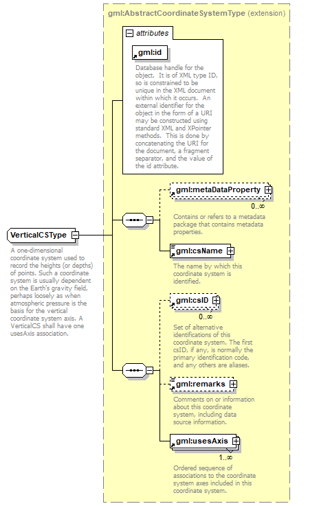 |
||||||||||||||
| namespace | http://www.opengis.net/gml | ||||||||||||||
| type | extension of gml:AbstractCoordinateSystemType | ||||||||||||||
| properties |
|
||||||||||||||
| children | gml:metaDataProperty gml:csName gml:csID gml:remarks gml:usesAxis | ||||||||||||||
| used by |
|
||||||||||||||
| attributes |
|
||||||||||||||
| annotation |
|
||||||||||||||
| source | <xs:complexType name="VerticalCSType"> <xs:annotation> <xs:documentation>A one-dimensional coordinate system used to record the heights (or depths) of points. Such a coordinate system is usually dependent on the Earth's gravity field, perhaps loosely as when atmospheric pressure is the basis for the vertical coordinate system axis. A VerticalCS shall have one usesAxis association. </xs:documentation> </xs:annotation> <xs:complexContent> <xs:extension base="gml:AbstractCoordinateSystemType"/> </xs:complexContent> </xs:complexType> |
XML Schema documentation generated by XMLSpy Schema Editor http://www.altova.com/xmlspy