| diagram | 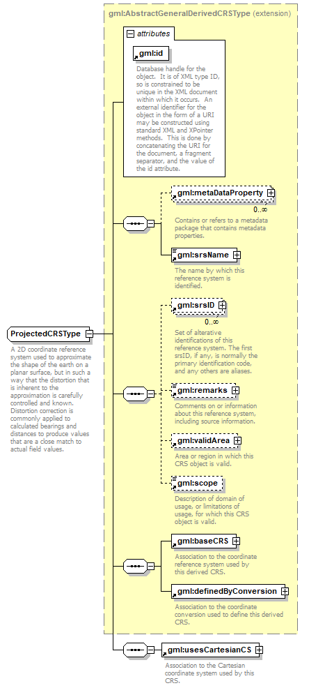 |
||||||||||||||
| namespace | http://www.opengis.net/gml | ||||||||||||||
| type | extension of gml:AbstractGeneralDerivedCRSType | ||||||||||||||
| properties |
|
||||||||||||||
| children | gml:metaDataProperty gml:srsName gml:srsID gml:remarks gml:validArea gml:scope gml:baseCRS gml:definedByConversion gml:usesCartesianCS | ||||||||||||||
| used by |
|
||||||||||||||
| attributes |
|
||||||||||||||
| annotation |
|
||||||||||||||
| source | <xs:complexType name="ProjectedCRSType"> <xs:annotation> <xs:documentation>A 2D coordinate reference system used to approximate the shape of the earth on a planar surface, but in such a way that the distortion that is inherent to the approximation is carefully controlled and known. Distortion correction is commonly applied to calculated bearings and distances to produce values that are a close match to actual field values. </xs:documentation> </xs:annotation> <xs:complexContent> <xs:extension base="gml:AbstractGeneralDerivedCRSType"> <xs:sequence> <xs:element ref="gml:usesCartesianCS"/> </xs:sequence> </xs:extension> </xs:complexContent> </xs:complexType> |
XML Schema documentation generated by XMLSpy Schema Editor http://www.altova.com/xmlspy