| diagram | 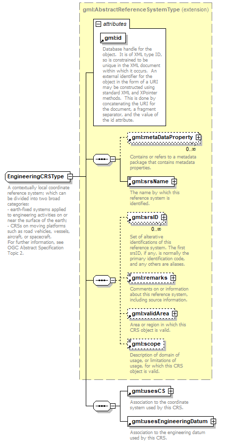 |
||||||||||||||
| namespace | http://www.opengis.net/gml | ||||||||||||||
| type | extension of gml:AbstractReferenceSystemType | ||||||||||||||
| properties |
|
||||||||||||||
| children | gml:metaDataProperty gml:srsName gml:srsID gml:remarks gml:validArea gml:scope gml:usesCS gml:usesEngineeringDatum | ||||||||||||||
| used by |
|
||||||||||||||
| attributes |
|
||||||||||||||
| annotation |
|
||||||||||||||
| source | <xs:complexType name="EngineeringCRSType"> <xs:annotation> <xs:documentation>A contextually local coordinate reference system; which can be divided into two broad categories: - earth-fixed systems applied to engineering activities on or near the surface of the earth; - CRSs on moving platforms such as road vehicles, vessels, aircraft, or spacecraft. For further information, see OGC Abstract Specification Topic 2. </xs:documentation> </xs:annotation> <xs:complexContent> <xs:extension base="gml:AbstractReferenceSystemType"> <xs:sequence> <xs:element ref="gml:usesCS"/> <xs:element ref="gml:usesEngineeringDatum"/> </xs:sequence> </xs:extension> </xs:complexContent> </xs:complexType> |
XML Schema documentation generated by XMLSpy Schema Editor http://www.altova.com/xmlspy