| diagram | 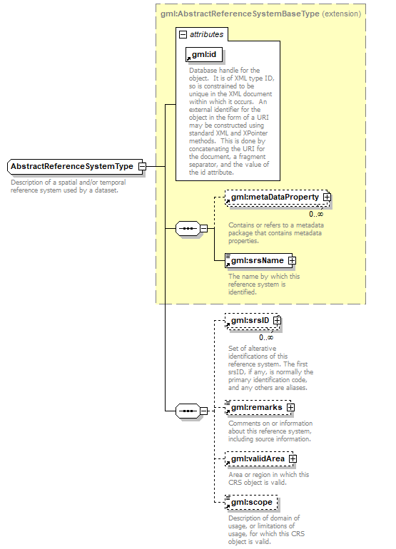 |
||||||||||||||
| namespace | http://www.opengis.net/gml | ||||||||||||||
| type | extension of gml:AbstractReferenceSystemBaseType | ||||||||||||||
| properties |
|
||||||||||||||
| children | gml:metaDataProperty gml:srsName gml:srsID gml:remarks gml:validArea gml:scope | ||||||||||||||
| used by | |||||||||||||||
| attributes |
|
||||||||||||||
| annotation |
|
||||||||||||||
| source | <xs:complexType name="AbstractReferenceSystemType" abstract="true"> <xs:annotation> <xs:documentation>Description of a spatial and/or temporal reference system used by a dataset.</xs:documentation> </xs:annotation> <xs:complexContent> <xs:extension base="gml:AbstractReferenceSystemBaseType"> <xs:sequence> <xs:element ref="gml:srsID" minOccurs="0" maxOccurs="unbounded"> <xs:annotation> <xs:documentation>Set of alterative identifications of this reference system. The first srsID, if any, is normally the primary identification code, and any others are aliases.</xs:documentation> </xs:annotation> </xs:element> <xs:element ref="gml:remarks" minOccurs="0"> <xs:annotation> <xs:documentation>Comments on or information about this reference system, including source information.</xs:documentation> </xs:annotation> </xs:element> <xs:element ref="gml:validArea" minOccurs="0"/> <xs:element ref="gml:scope" minOccurs="0"/> </xs:sequence> </xs:extension> </xs:complexContent> </xs:complexType> |
XML Schema documentation generated by XMLSpy Schema Editor http://www.altova.com/xmlspy