| diagram | 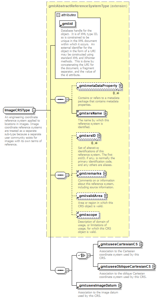 |
||||||||||||||
| namespace | http://www.opengis.net/gml | ||||||||||||||
| type | extension of gml:AbstractReferenceSystemType | ||||||||||||||
| properties |
|
||||||||||||||
| children | gml:metaDataProperty gml:srsName gml:srsID gml:remarks gml:validArea gml:scope gml:usesCartesianCS gml:usesObliqueCartesianCS gml:usesImageDatum | ||||||||||||||
| used by |
|
||||||||||||||
| attributes |
|
||||||||||||||
| annotation |
|
||||||||||||||
| source | <xs:complexType name="ImageCRSType"> <xs:annotation> <xs:documentation>An engineering coordinate reference system applied to locations in images. Image coordinate reference systems are treated as a separate sub-type because a separate user community exists for images with its own terms of reference. </xs:documentation> </xs:annotation> <xs:complexContent> <xs:extension base="gml:AbstractReferenceSystemType"> <xs:sequence> <xs:choice> <xs:element ref="gml:usesCartesianCS"/> <xs:element ref="gml:usesObliqueCartesianCS"/> </xs:choice> <xs:element ref="gml:usesImageDatum"/> </xs:sequence> </xs:extension> </xs:complexContent> </xs:complexType> |
XML Schema documentation generated by XMLSpy Schema Editor http://www.altova.com/xmlspy