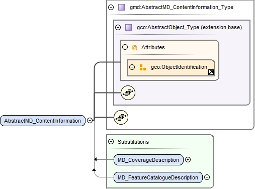
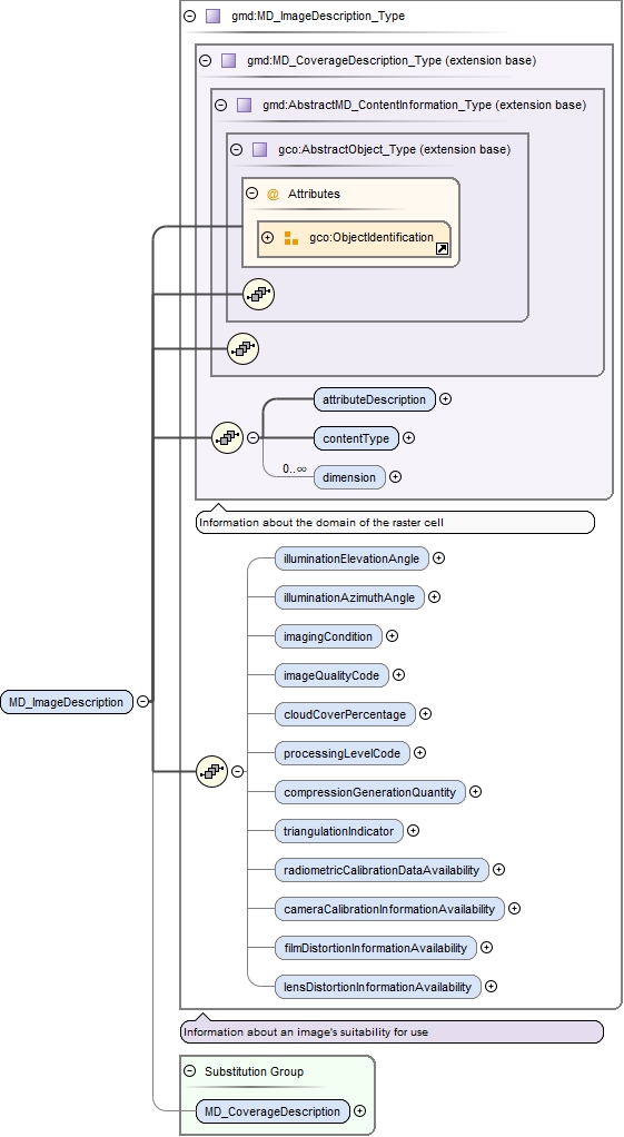
Geographic MetaData (GMD) extensible markup language is a component of the XML Schema Implementation of Geographic Information Metadata documented in ISO/TS 19139:2007. GMD includes all the definitions of http://www.isotc211.org/2005/gmd namespace. The root document of this namespace is the file gmd.xsd. This content.xsd schema implements the UML conceptual schema defined in ISO 19115:2003, A.2.8. It contains the implementation of the following classes: MD_FeatureCatalogueDescription, MD_CoverageDescription,MD_ImageDescription, MD_ContentInformation, MD_RangeDimension, MD_Band, MD_CoverageContentTypeCode, MD_ImagingConditionCode.
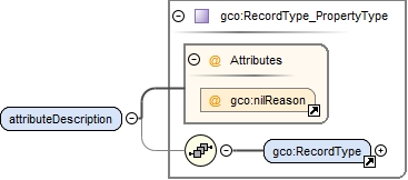
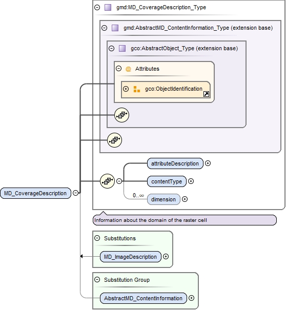
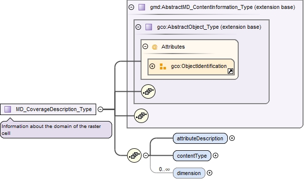
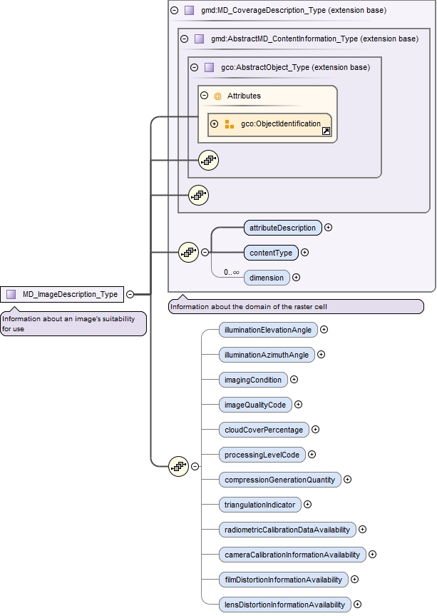
<xs:complexType name="MD_CoverageDescription_Type"><xs:annotation><xs:documentation>Information about the domain of the raster cell</xs:documentation></xs:annotation><xs:complexContent><xs:extension base="gmd:AbstractMD_ContentInformation_Type"><xs:sequence><xs:element name="attributeDescription" type="gco:RecordType_PropertyType"/><xs:element name="contentType" type="gmd:MD_CoverageContentTypeCode_PropertyType"/><xs:element name="dimension" type="gmd:MD_RangeDimension_PropertyType" minOccurs="0" maxOccurs="unbounded"/></xs:sequence></xs:extension></xs:complexContent></xs:complexType>
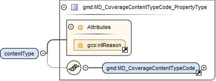
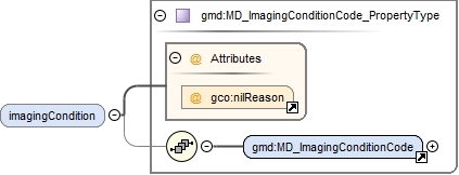
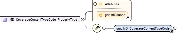
Complex Type gmd:MD_CoverageContentTypeCode_PropertyType
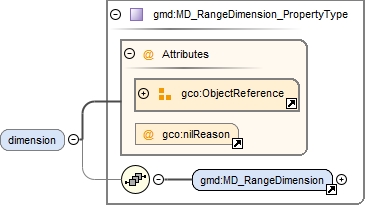
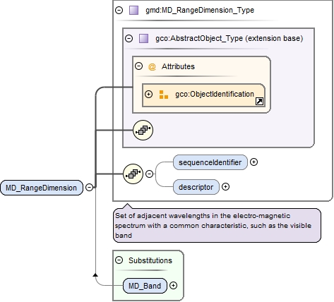
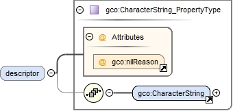
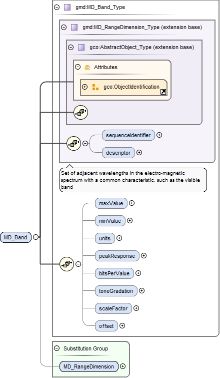
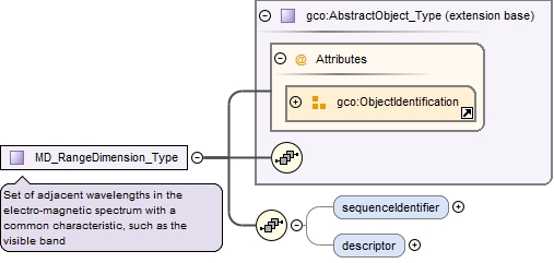
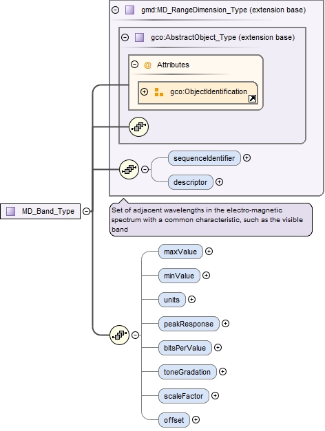
<xs:complexType name="MD_RangeDimension_Type"><xs:annotation><xs:documentation>Set of adjacent wavelengths in the electro-magnetic spectrum with a common characteristic, such as the visible band</xs:documentation></xs:annotation><xs:complexContent><xs:extension base="gco:AbstractObject_Type"><xs:sequence><xs:element name="sequenceIdentifier" type="gco:MemberName_PropertyType" minOccurs="0"/><xs:element name="descriptor" type="gco:CharacterString_PropertyType" minOccurs="0"/></xs:sequence></xs:extension></xs:complexContent></xs:complexType>
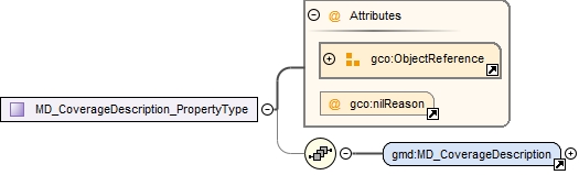
Complex Type gmd:MD_CoverageDescription_PropertyType