| Namespace | http://www.isotc211.org/2005/gmd | ||||||||||||||||
|
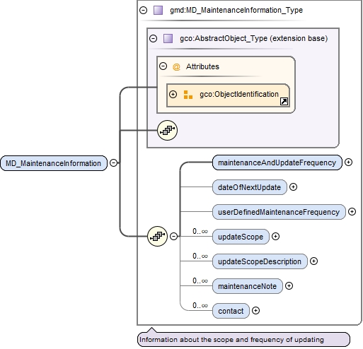
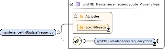
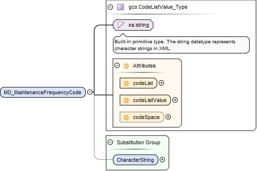
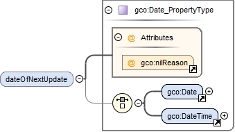
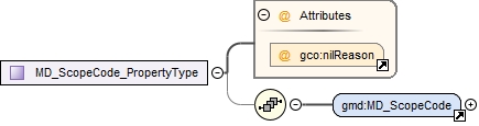
Diagram
|
 |
||||||||||||||||
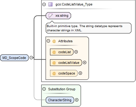
| Type | gco:CodeListValue_Type | ||||||||||||||||
|
Properties
|
|
||||||||||||||||
| Substitution Group Affiliation | |||||||||||||||||
|
Used by
|
|
||||||||||||||||
|
Attributes
|
|
||||||||||||||||
|
Source
|
|